From the Yvette to the Orge by bike
Why not cycle along the River Yvette all the way to the River Orge? Damien and I decide to take on this challenge at the beginning of June.
An experience lived by Ella
Advantages
The vast majority of the itinerary is on cycle paths. If you run out of energy, you can make the return trip by the RER train, Line C. Definitely a change of scene!
Disadvantages
A severe lack of signposting, although you can easily manage with a map and your smartphone.
-
Along the river Yvette
-
1/2 day
- Sporting Activities
- Walks and hikes
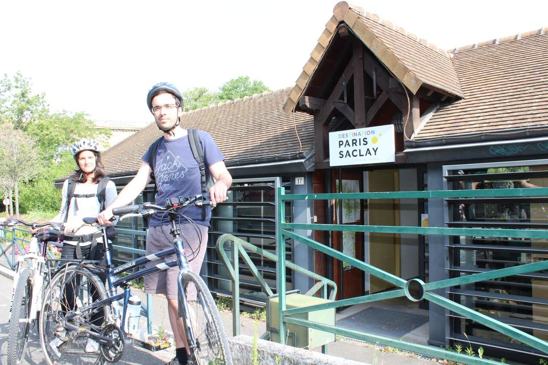
Start from the Orsay Tourist Office
After more than two and half months without any exercise, the 28km return trip seems like a mad idea!
We get ready and take a quick look at the route online. Picnics in our rucksacks, water flasks filled and helmets on our heads… We’re all set!
On this lovely sunny day, we start out from the Orsay Tourist Office on the banks of the Yvette.
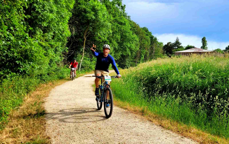
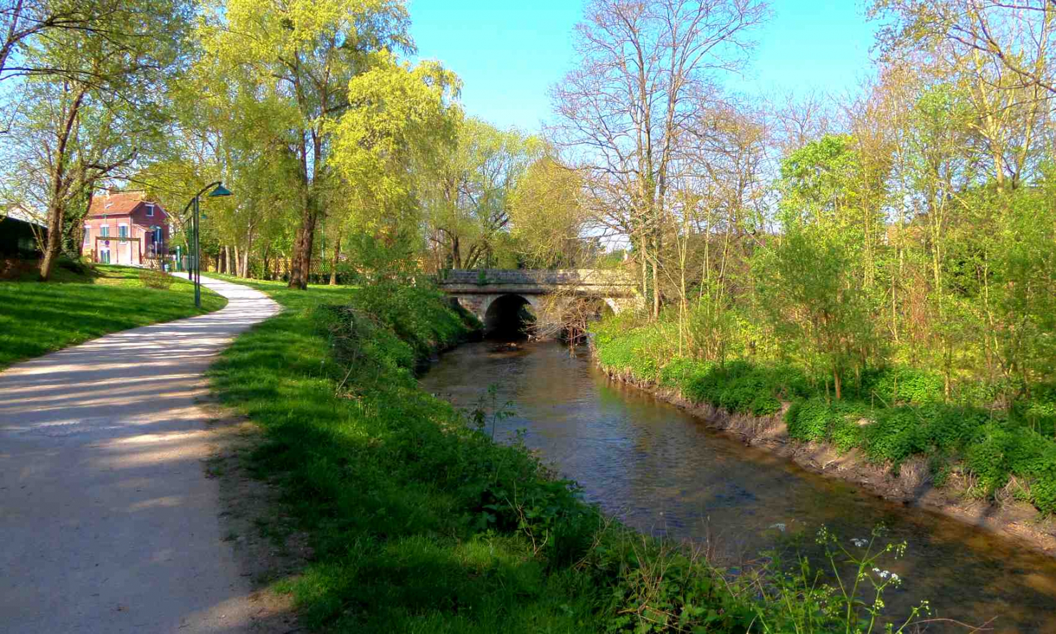
We follow the Yvette riverbank and quickly reach the cycle path. We soon reach the Leconte de l’Isle promenade which leads us to Lozère Lake.
It’s a pleasant ride and the noise of traffic is now just a distant memory. When we reach the end of the promenade at Villebon-sur-Yvette, we can no longer continue along the River Yvette.
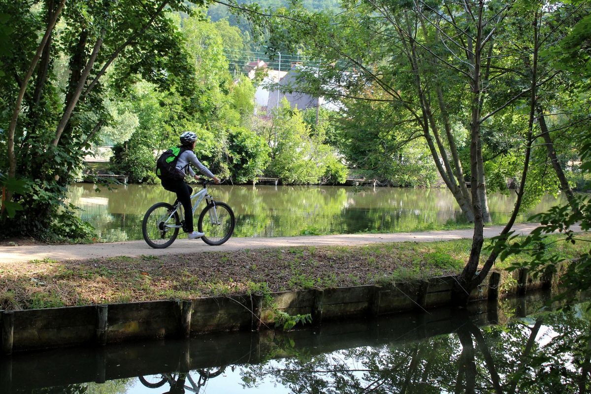
The Yvette promenade
So we find ourselves back on the road and facing our first challenge, an uphill section! It turns out to be a piece of cake (probably because we’ve only just started!) and we climb it at our own pace.
There are very few signs indicating the Yvette promenade. But luckily we know the way! We cycle for 1km along the road and join the Yvette promenade at the bottom of Avenue du Général de Gaulle (Villebon-sur-Yvette).
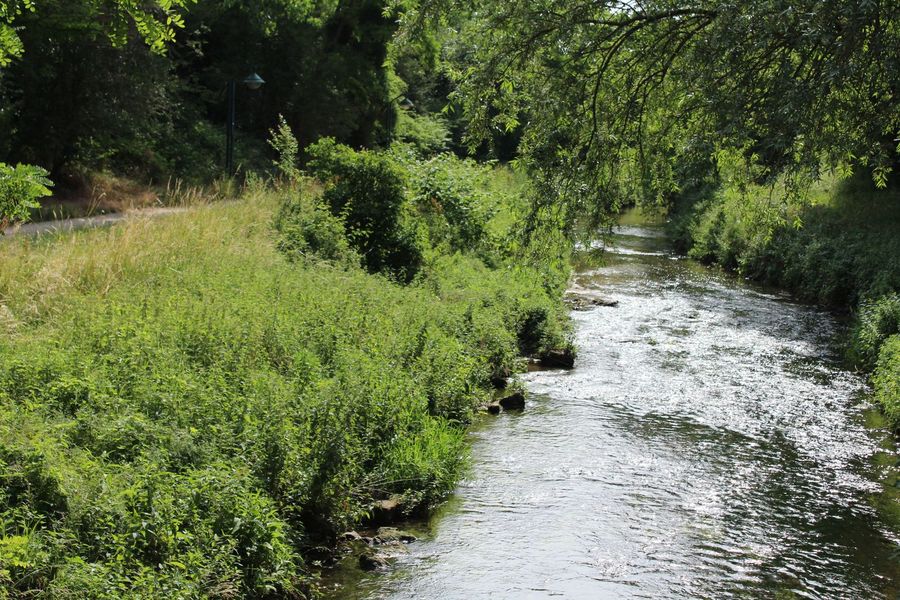
We’re surprised at how busy it is, with families, joggers, cyclists and people walking their dogs. We take our time and make the most of the scenery.
From its source in Lévis-Saint-Nom (Yvelines), the Yvette flows for 44 kilometres and lends its name to several towns in the region, including Gif-sur-Yvette, Villebon-sur-Yvette and Bures-sur-Yvette. It flows into the River Orge (a tributary of the Seine) at Epinay-sur-Orge.
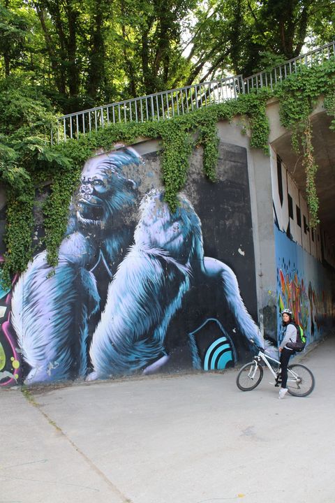
Street-art
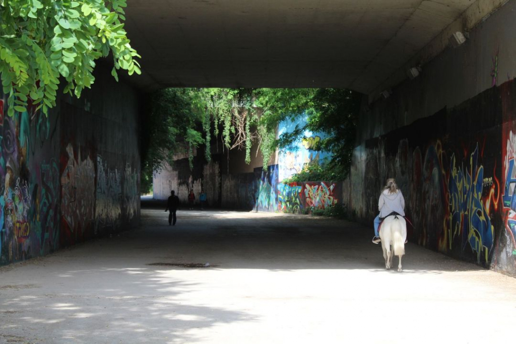
At the end of the promenade we follow the road again but only for a short distance until we’re back at the river. It’s so quiet here. We even come across an angler. In the tunnel leading under the A10 motorway to the Villebon 2 shopping centre, we pose in front of the street art covering the tunnel walls.
Amazingly, as we emerge from the tunnel we come face to face with a horse and rider! Next, we take a wrong turn at the shopping centre and end up cycling alongside the “Parc Gutenberg” industrial estate in Palaiseau.
Don’t make the same mistake as we did. When you see the pedestrian entrance to the shopping centre, go right along the river bank, not left.
The Boëlle stream
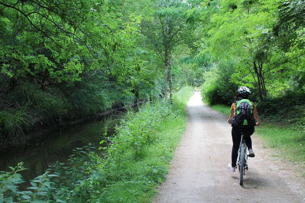
Damien and I cycle a short distance along the road, then cross to join the cycle path. We’re now following the Boëlle stream (a secondary arm of the Yvette). We take the opportunity to admire the horses belonging to the equestrian section of the Essonne fire brigade, which strike quite a contrast with the Villebon 2 shopping centre.
To me, it’s this part of the itinerary that offers a real change of scene. We find ourselves on the banks of this stream in the middle of a forest.
The Saulx reservoir
Surrounded by nature, we forget that barely a few minutes ago we left behind us a very busy business park. We make the most of each instant.
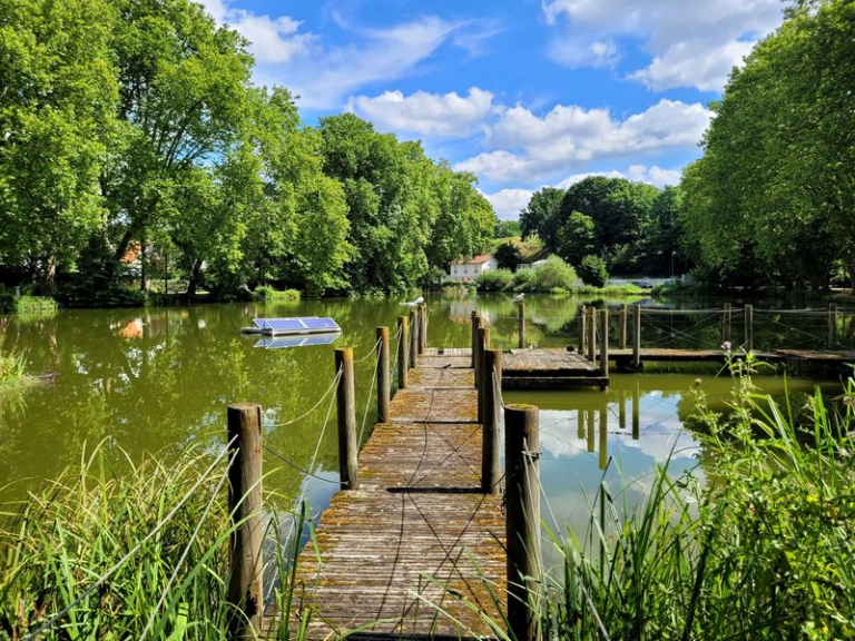
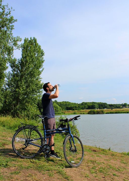
Then the landscape changes again as we reach the Saulx reservoir. This is the largest lake in the valley. It has a surface area of 50 hectares and holds up to 900,000 cubic metres of water. The layout allows pedestrians and cyclists to share the route safely. At this point, the lack of signposting is not a problem.
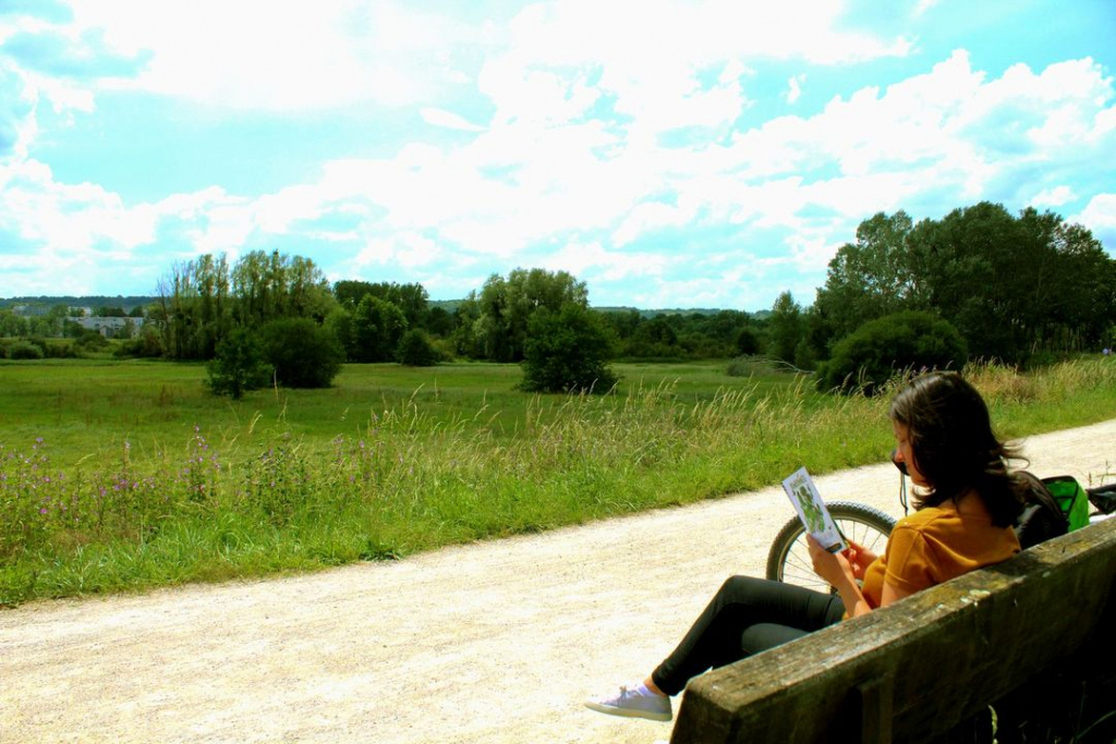
We decide to stop for our first break to quench our thirst. It’s starting to get hot. This is a chance to flick through our guide to hiking at the water’s edge, published by SIAVHY, the Yvette Valley’s intermunicipal syndicate for water management structures.
This guide contains 12 itineraries to explore along the Yvette and discover more about the river.
Longjumeau
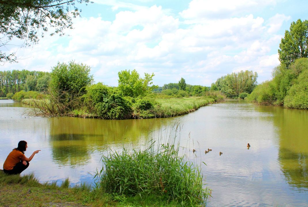
We spend a few minutes watching a duck and her ducklings bathing. Just enough time to take a few photos and we’re on our way again.
We have to get off our bikes a few times to go through gates.
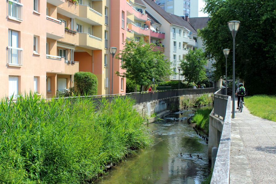
In Longjumeau, the cycle track ends and we get off our bikes to walk between the apartment buildings to Rue François Mitterand. From there, we can’t find our way to the banks of the Yvette. We’re a little lost and don’t know how to get back to the river. For the first time since we started out, we have to check the itinerary on our smartphone. Luckily, we’re able to follow a cycle path along Rue Léontine Sohier to Longjumeau sports ground. We cut across the sports facilities and find ourselves once again cycling along the bank between the river and the wheat fields.
Balizy lake
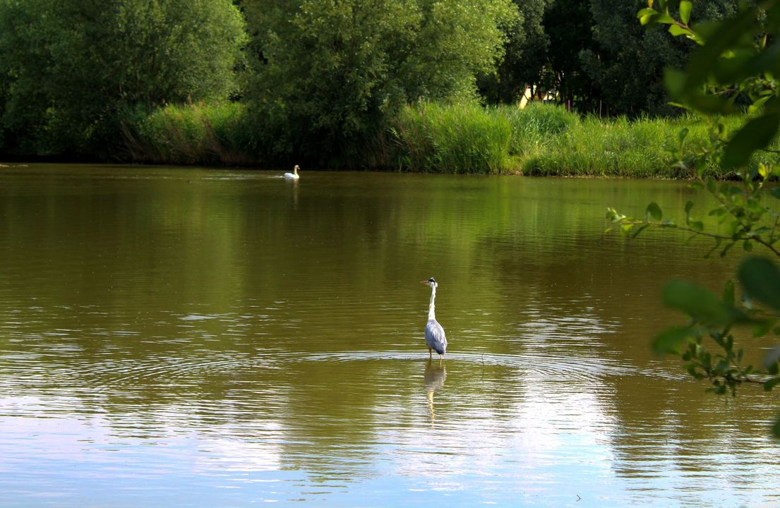
We head for Balizy lake. When we reach it, we’re greeted by Gaston, the heron, who doesn’t seem worried by the presence of humans. In the distance we can see Célestine, the swan.
We don’t feel as if we’re anywhere near Paris. Then, from Balizy station, we follow the final stretch. We cross the railway and take another track towards Epinay-sur-Orge.
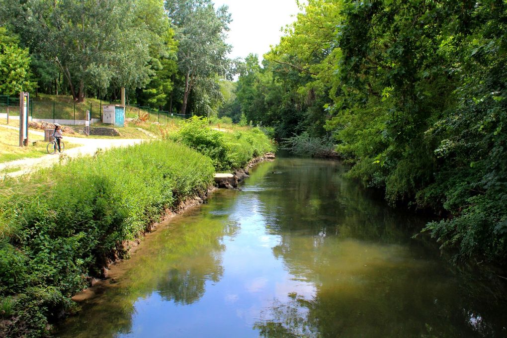
We find ourselves surrounded by trees with the River Yvette on our left. We’re beginning to feel tired and a little hungry. We pass close to the private grounds of the Sillery Franco-British Foundation. The track leads us straight back to Le Petit Vaux RER train station. Another glance at the map to check our route and we’re off again. The first part of the itinerary is a pleasant ride along a quiet street.
We reach the Orge
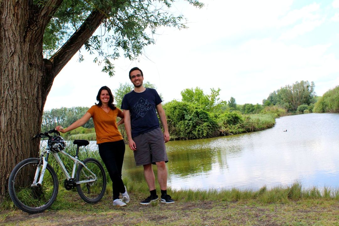
Next, we arrive on Rue du Grand Vaux. We have to follow this street to reach the River Orge. This is not the nicest part of the trip as there’s quite a bit of traffic, but it’s a wide street. We pass in front of Epinay-sur-Orge station and, after a few hundred metres, we reach the Orge… At last! Because we enjoy a challenge, we decide to look for the spot where the Yvette flows into the Orge. After all, a few more metres won’t make much difference! A short distance later, we find what we’re looking for. Our stop for lunch on the banks of the Orge is a well-deserved break. The return trip is quicker than the outward journey (now that we know the way!).
We arrive in Orsay, worn out but proud of our performance and already wondering what our next challenge will be! Watch this space!
The Yvette Valley intermunicipal syndicate for water management systems takes care of the 106km of rivers and streams around the Yvette. The syndicate’s headquarters is at the Saulx-les-Chartreux watermill. Our day out was heavily inspired by the syndicate’s “au fil de l’eau” hiking guide.
